Publisher’s Letter: Takes directions well
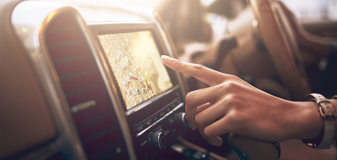
It was my 40th birthday, and my husband and I were barreling down the interstate, sadly leaving Napa behind on our way to the airport in Oakland, California. He was driving, and I was riding shotgun with a smartphone in my hand—trying to follow the blue dot that was navigating our way through the complicated highway system. This was in the days before my apps talked to me. Prehistoric days, I’m sure, to some reading this. At a critical time in the navigation, my mother called (it was my birthday, after all) and my screen changed from map to phone mode.
“Which lane?!” my husband asked frantically as I declined the call. I got back to the map screen, again searching for the dot, when my mom immediately called again. (Why would I decline a call?) So, in a panic, I chose the left lane.
But the left lane went over the interstate and veered right. And that wasn’t right, at all. That was so wrong.
We hit the tollbooth on Highway 80 heading across the Bay Bridge toward San Francisco before we knew just how wrong. While fishing five dollars out of my wallet, and looking at the long stretch of bridge ahead of me, I realized that I had been failed by my electronic device. And we might miss our flight. And my husband was quietly seething. And the sound of silence was much worse than Simon & Garfunkel ever imagined.
If only I had relied on a good ol’ dependable paper map.
I love paper maps. The kind you get in gas stations just off the route, next to a bowl of boiled eggs and a display of five-hour energy drinks. Real maps. Solid maps. Maps that are hard to fold, but impossible to live without. Maps that don’t have moving parts.
I was taught to drive with navigation in mind. My father would not let me say, “Take a left on the interstate.” I had to give cardinal directions. “Head west on I-10” or “Take Airline Highway south toward New Orleans” were the ways that I learned the lay of the land. Plus the state maps that I studied—Louisiana, Mississippi, Alabama, Florida, Texas—and kept folded in the glove compartment of my navy 1990 Honda Accord. Many a time I pulled off the road to check the map.
Now, I hardly drive across town without turning on a mobile app to check for traffic delays and the quickest route. (I chose the male British voice to guide me, because this middle-aged mother of four needs cheap thrills.) But I fear that we are losing something—our sense of place—when we are so afraid to make a mistake in navigation. Sometimes, it’s okay to turn down the wrong road. Or go off the beaten path. It’s good to learn the lay of the land by driving it, not by being told where to turn.
Sometimes.
And then other times, it is best to know the quickest route. On my 40th birthday, we got off the Bay Bridge on Treasure Island—a small stop in the middle of San Francisco Bay—and looped around to head back toward Oakland. We frenziedly dropped off our rental car. We barely made our flight. We started speaking to each other again after the plane lifted and the peanuts had been passed. (It was my birthday, after all.)
We laugh about this now, of course. Now that the tension has subsided. And the years have passed. And the blue dot is now accompanied by a male British voice that alerts me which lane to drive in and which exit to take. Maybe I don’t miss my paper maps that much after all.

